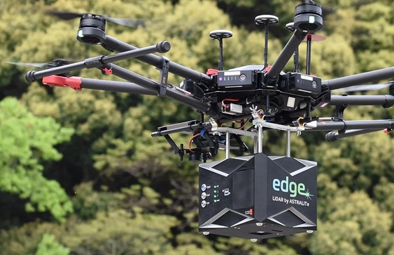
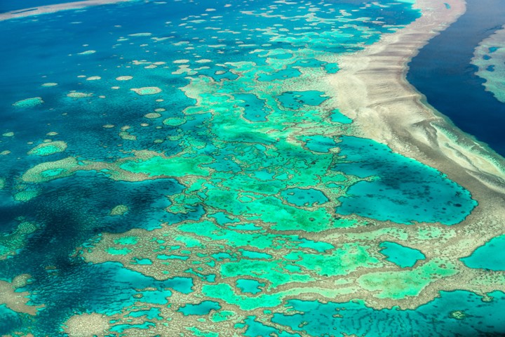
Bathymetric LiDAR Mapping Services
Bathymetric LiDAR mapping services include airborne LiDAR bathymetry and aerial terrestrial LiDAR. Our new 2-in-1 LiDAR system measures and maps underwater features and ocean floor terrain at a centimeter-level depth resolution. Our new system makes bathymetric LiDAR mapping affordable compared to traditional SHOALS. Airborne LiDAR bathymetry is perfect for civil engineering projects, shoreline or coastal erosion mapping and tracking erosion from rising sea-levels.