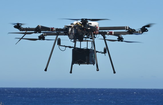
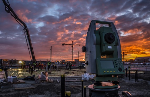
LiDAR Hawaii services include LiDAR mapping, bathymetric LiDAR and LiDAR drone mapping. Our company produces highly accurate digital 3D LiDAR modeling, Hawaii digital elevation models (DEMs), Hawaii GIS DEMs, high resolution orthorectified images and georeferenced photo mosaics. Thomas G. Pattison, owner of Aerial Surveying, Inc. is a State of Hawaii Licensed Professional Land Surveyor [LPLS No. 10743] and local LiDAR expert. LiDAR Hawaii offers a wide range of licensed land surveying services.

bathymetric-lidar-mapping
Our LiDAR mapping services include highly accurate 3D digital models and high resolution georeferenced orthorectified images. Looking for Hawaii digital elevation models or Hawaii GIS DEMs? Contact us!
digital-3d-models-orthorectified-images

Contact us or Request a Quote

Aerial Surveying Inc. offering LiDAR Hawaii Mapping Services

Thomas G. Pattison - State of Hawaii Licensed Land Surveyor No. 10743

Mobile 808.960.4006 + Office 808.327.9439 + eMail [email protected]
Mailing Address: Aerial Surveying, Incorporated
PO Box 384569, Waikoloa, HI 96738-4569