Digital 3D Models + Orthorectified Images
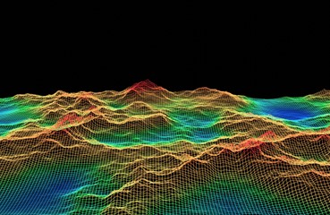
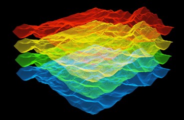
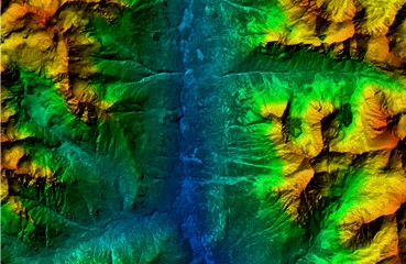
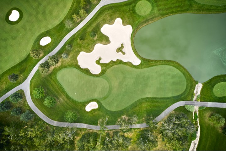
Our mapping with LiDAR services include highly accurate digital 3D models + high resolution orthorectified images. LiDAR Hawaii also offers the following geospatial data products: 3D mapping, photo mosaics, multi spectral images, geo-referenced images, digital terrain models, DTM, digital surface model, DSM, Hawaii digital elevation model, Hawaii GIS DEM, high-resolution aerial photographs, drone photos.


