• Aerial Terrestrial LiDAR Mapping Remote Sensing
  • Airborne Bathymetric LiDAR Mapping Remote Sensing
  • Echo Sounding Sonar Mapping Services
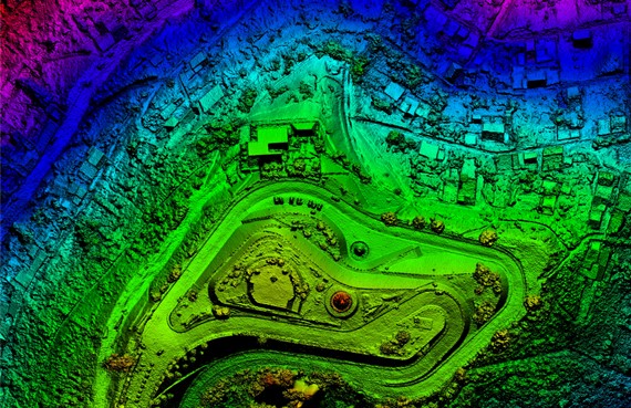
  • Digital 3D Models AutoCAD LiDAR Data Point Clouds
  • DTMs aka Digital Terrain Models
  • DEMs aka Digital Elevation Models
  • 3D Mapping DSMs aka Digital Surface Models
  • Georeferenced Orthorectified Aerial Photo Mosaics
  • Topographical Mapping AutoCAD Contour MapsĀ 
  • LiDAR Drone Mapping Services Laser Scanning
  • LiDAR Mapping Services Helicopter

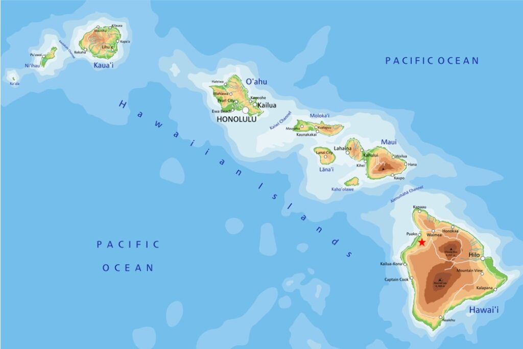
LiDAR Drone Mapping Company serving the State of Hawaii since 2006 offering 3D Mapping Services to Honolulu, Oahu, Big Island, Maui, Kauai, Lanai and Molokai

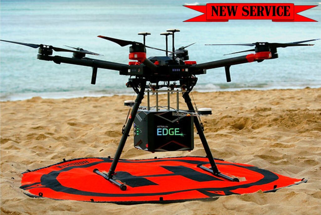
  • AIRBORNE BATHYMETRIC LIDAR DRONE – NEW
  • ECHO SOUNDING OR SONAR DRONE – NEW SERVICE
  • AERIAL TERRESTRIAL LIDAR DRONE – NEW SERVICE
  • AERIAL TERRESTRIAL LIDAR HELICOPTER
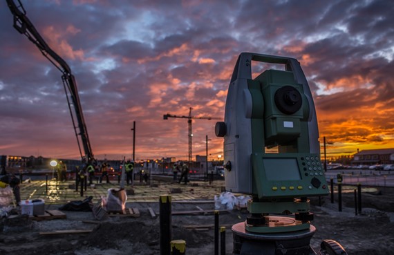
  • GROUND TRUTHING BY LICENSED LAND SURVEYOR
Our LiDAR mapping services include highly accurate 3D digital models and high resolution georeferenced orthorectified images. Looking for Hawaii digital elevation models or Hawaii GIS DEMs? Contact us!
digital-3d-models-orthorectified-images

Contact Us or Submit a RFP - Request For Proposal

Aerial Surveying Inc. offering State of Hawaii LiDAR Drone LiDAR Helicopter Mapping Services

Thomas G. Pattison - State of Hawaii Licensed Land Surveyor No. 10743

Office 808.327.9439 + eMail [email protected]
Mailing Address: Aerial Surveying, Inc.
PO Box 384569, Waikoloa, HI 96738-4569