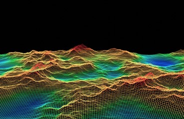
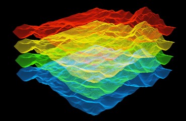
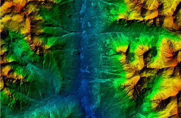
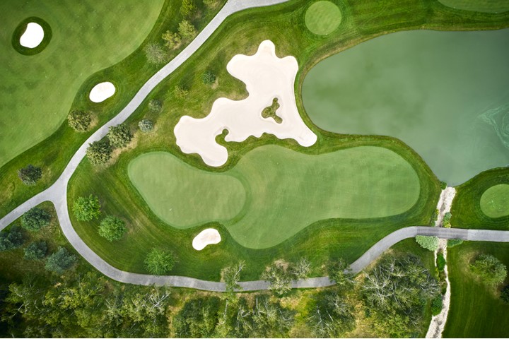
Our mapping with LiDAR services include highly accurate digital 3D models + high resolution orthorectified images. LiDAR Hawaii also offers the following geospatial data products: 3D mapping, photo mosaics, multi spectral images, geo-referenced images, digital terrain models, DTM, digital surface model, DSM, Hawaii digital elevation model, Hawaii GIS DEM, high-resolution aerial photographs, drone photos.

LiDAR 3D Digital LiDAR Models + Orthorectified Images

LiDAR 3D Digital Modeling + LiDAR 3D Digital

Digital Elevation Models (DEMs) + Digital Terrain Models (DTMs)

LiDAR 3D Digital Modeling

3D LiDAR modeling is the process of creating 3D digital models from 3D LiDAR point clouds generated by a LiDAR scanner. LiDAR remote sensing or laser scanners use multiple laser beams or multi spectral imaging sensors to measure the distance to an object at thousands of points simultaneously. This scanned LiDAR data is returned in LiDAR data point clouds. LiDAR data point clouds are collected in the following layers: 1st Return, 2nd Return, 3rd Return, 4th Return. These LiDAR data point clouds are used for creating high-resolution 3D models. Multi spectral images used in conjunction with 3D LiDAR modeling creates even more accurate 3D models. 3D LiDAR data is used to create a variety of 3D models: Digital Terrain Models (DTMs), Digital Surface Models (DSMs), Digital Elevation Models (DEMs).

LiDAR Hawaii Offers the Following 3D Digital Models:

LiDAR 3D Digital Models + Orthorectified Images

Georeferenced Orthoimages + High Accuracy Photo Mosaics

High Resolution Aerial Photographs + Aerial Drone Photos

high-accuracy-orthorectified-georeferenced-photo-mosaics

Georeferenced Orthorectified Images + High Resolution Photo Mosaics

High resolution orthorectified images combine the image characteristics of aerial photographs with the geometric qualities of maps. An orthoimage is a uniform-scale image where corrections have been made for scale variations caused by terrain relief, sensor geometry, and camera tilt and for feature displacement such as building tilt. A mathematical equation based on ground control points, sensor calibration information, and a digital elevation model is applied to each pixel to rectify the image to obtain the geometric qualities of a map. Ground truthing is done by the licensed land surveyor on the project site to verify the image calculations actually match what is found on the ground.

A digital orthoimage photo mosaic is created using photo stitching software. Photo mosaics are put together using a number of geometrically corrected photographic images. The digital orthoimage is then georeferenced using control points whose ground positions are known. This is also known as ground truthing. The georeferenced digital orthoimage is used as a map overlay on top of LiDAR digital models for measurement, analysis, and display of a topographic map with elevations. Civil engineers, architects, and land surveyors use LiDAR maps overlayed with georeferenced digital orthoimage photo mosaics for project planning and design.


High Resolution Orthorectified Image Benefits Include the Ability to Use Orthoimages for the following:

Geospatial Data Products

LiDAR Hawaii offers a wide variety of geospatial data products, including georeferenced orthoimages, high resolution aerial photographs, aerial drone photos and more. Not sure which geospatial data deliverables are right for your project? Need help understanding or working with geospatial data products? No worries, our LiDAR Hawaii team will help you determine the best solution for your LiDAR project. Please contact us directly to discuss your specific geospatial data product needs.

Learn more about LiDAR by clicking here.